
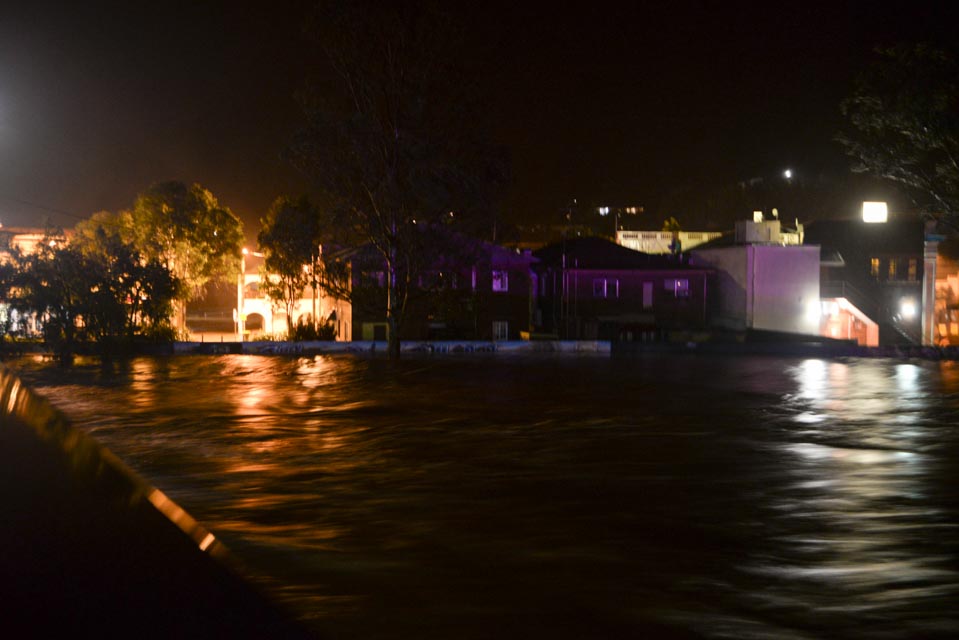
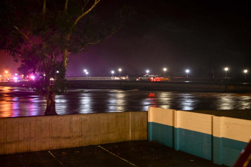
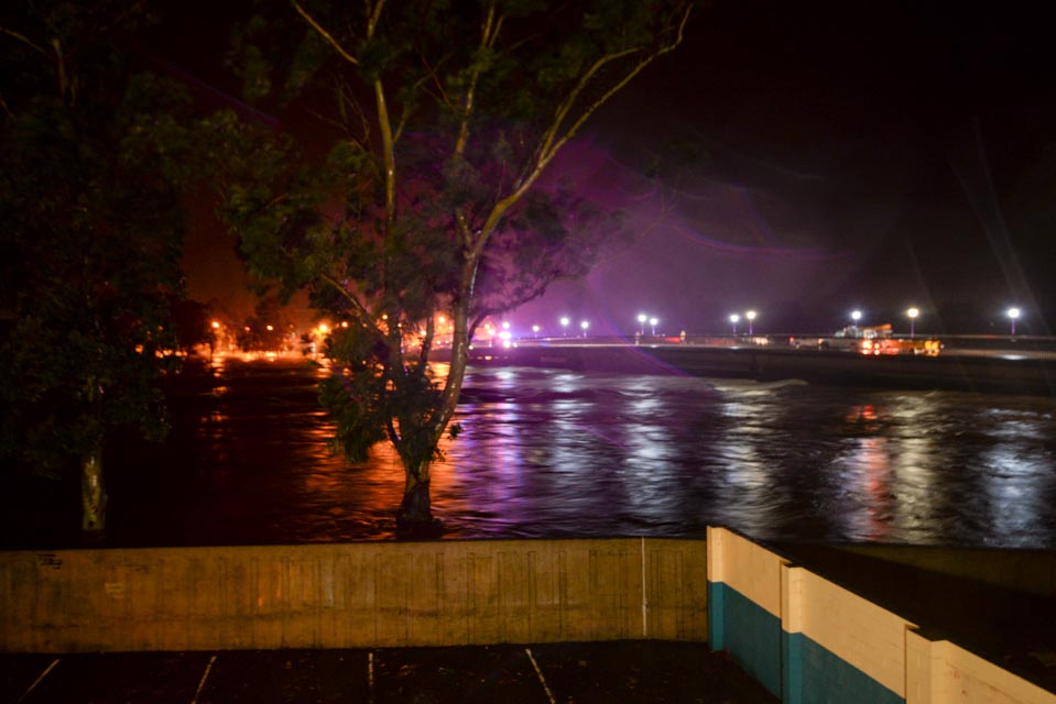
THE MURWILLUMBAH levee wall has held back a ferocious Tweed River at a peak of 6.2 metres at 4.30 am this morning with the river now beginning to fall.
Earlier predictions had the Tweed River peaking at 6.4 metres this morning, which would have breached the levee wall (6.3 metres) while residents of Murwillumbah CBD were instructed to evacuate by the SES.
The flood level broke the previous record of 6.07 metres set during the 1954 floods and if it wasn’t for the levee wall Murwillumbah CBD and surrounds would have seen much more extensive flooding.
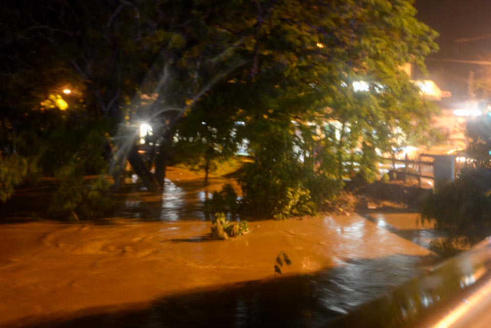
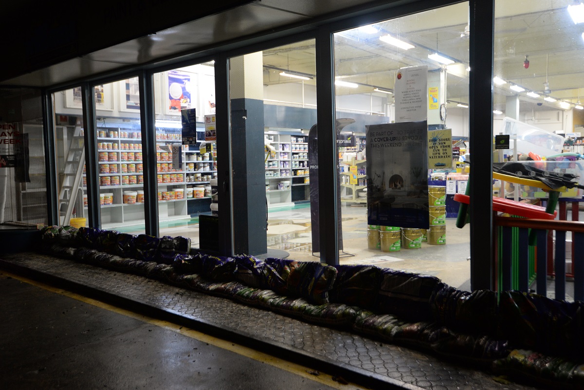
The CBD was inundated with flash flooding affecting businesses on Wharf Street.
South Murwillumbah has experienced extensive flooding along with several other low lying areas north of the river including around Knox Park, Riverview Street, William Street and the Murwillumbah Leagues Club.
Residents are reporting that flood waters are beginning to recede and it was a long and nervous night for many business and home owners who watched the waters continue to rise.
Rain has eased and the forecast is for no further significant rainfall today and a strong wind warning in place.
Latest river levels;
| Tweed River at Uki | 10.30m | Falling | 05:28 AM |
| Oxley River at Eungella | 5.85m | Falling | 05:27 AM |
| Rous River at Chillingham | 6.43m | Rising | 11:34 PM |
| Rous River at Boat Harbour | 12.80m | Falling | 04:45 AM |
| Tweed River at Tumbulgum (AHD) | 3.56m | Rising | 05:27 AM |
| Tweed River at Chinderah (Barneys Point) (AHD) | 1.64m | Steady | 05:21 AM |